BLACKEAGLE
SENIOR MEMBER

Tuesday, 9 December 2014
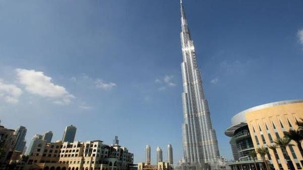
Google has announced the arrival of Street View in Dubai, a feature by Google Maps that allows users to view and navigate 360 degree street-level imagery of major streets across the city.
Street View was launched in May 2007 and is already available in more than 3000 cities across 63 countries around the world but this marks the time Street View is made available on a street-level in the Arab world.
Mohamad Mourad, Regional Director for Google in Middle East and North Africa, said: “Google Street View will allow millions of people from around the world to discover Dubai in a new way ----to see and experience useful and beautiful 360-degree imagery of one of the most touristic cities in the world. Wherever we have launched Street View, we have seen positive response, and believe that people and businesses in the UAE and across the world can benefit on many levels from having this imagery available.”
Street View imagery is gathered by a vehicle equipped with advanced imaging technology--- a camera mounted on the roof of a car that collects imagery and location data. Some of the main areas captured by Street View in Dubai include Sheikh Zayed Road, a main thoroughfare, Dubai Marina and Business Bay.
Last Update: Tuesday, 9 December 2014 KSA 14:47 - GMT 11:47
http://english.alarabiya.net/en/bus...ubai-Street-View-first-in-the-Arab-world.html
